
Precision Aerial Surveys & Inspections
Sky Drone Surveys delivers professional aerial inspections and survey data sets for construction and demolition monitoring, roof and land inspections and mapping, thermal imaging, and 3D modelling. Providing accurate, high-level insights across all industries.
About us
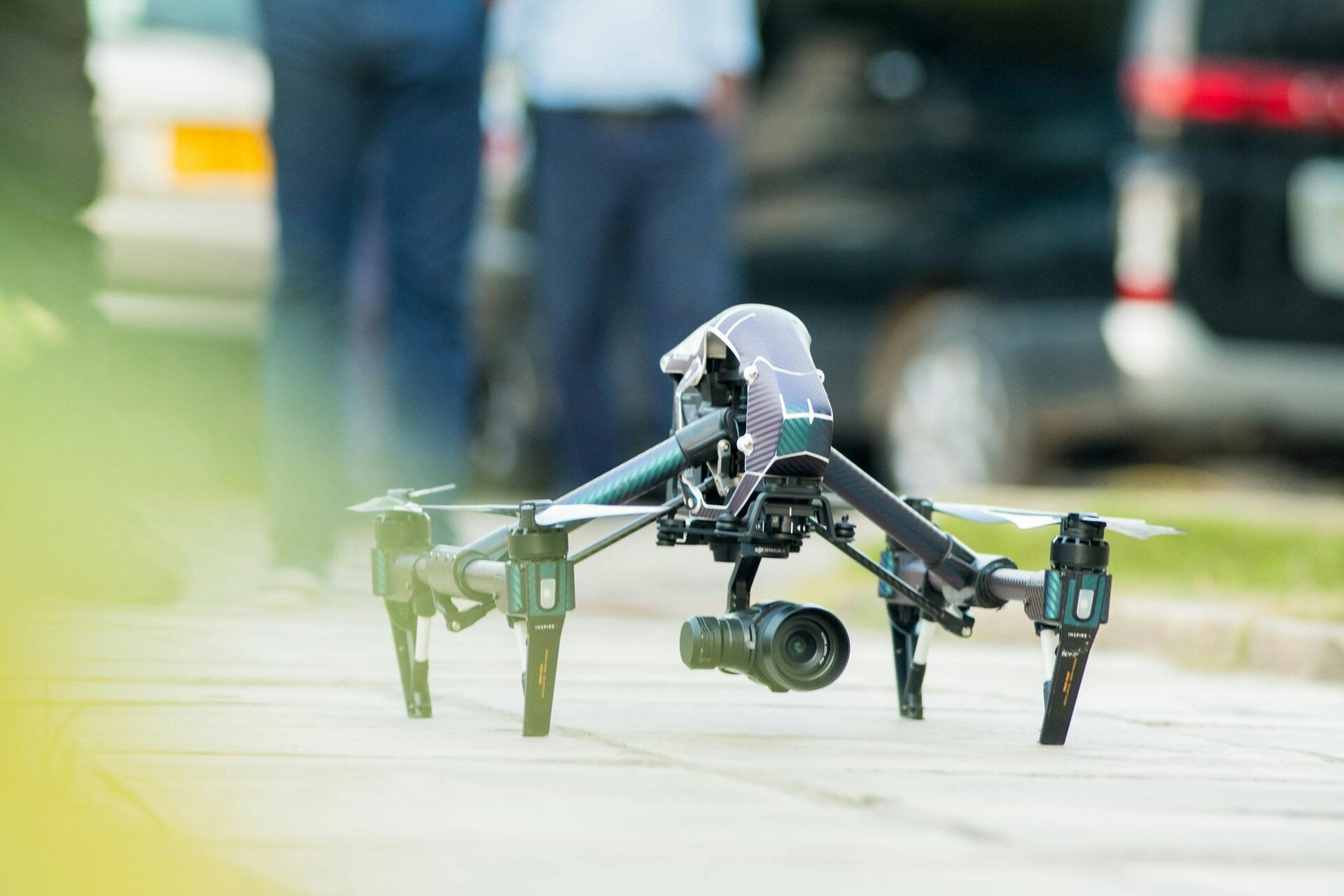
Sky Drone Surveys began with a passion for drone technology, initially helping local farmers locate livestock and monitor land through aerial surveys. As demand grew, our services expanded into agricultural surveys and property imaging. Today, we are a professional drone services company with CAA-compliant, A2 CofC and GVC certified pilots, delivering advanced aerial solutions including roof and land inspections and mapping, thermal imaging, 3D modelling, construction site monitoring, and high-resolution aerial surveys for clients across construction, real estate, and insurance , as well as aerial coverage for local businesses and private events.
" We deliver aerial 4K imagery and advanced thermal scanning technology, executed by fully licensed CAA pilots certified to A2 and GVC levels. With over 10 years of industry experience, our commitment to safety, quality data sets, and exceptional videography ensures you receive the best drone services available. We provide professional quality data sets and imagery/videography.
Our Services
Sky Drone Surveys Oxford offers a comprehensive suite of professional drone solutions designed to meet diverse industry needs. From stunning property visuals to critical infrastructure inspections and detailed agricultural surveys, our expert pilots and state-of-the-art equipment provide effective and practical results.
Based in Bicester, we can deliver the highest level Drone surveys, Photogrammetry, Point Cloud Data sets and Thermal data throughout Oxford, Buckingham, Banbury, Aylesbury, Wycombe, Milton Keynes Abingdon and the Cotswolds and anywhere else you may need us.

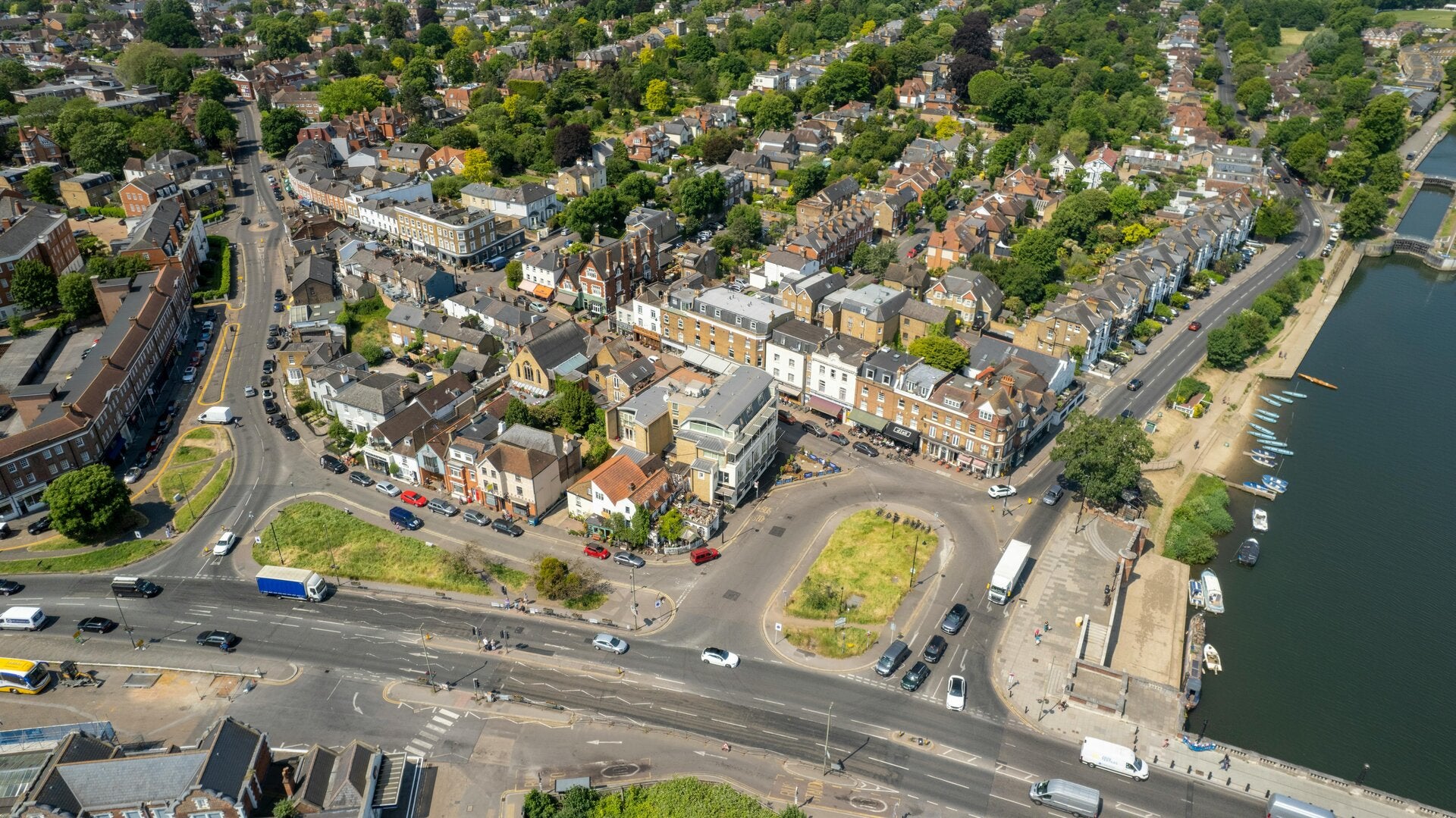
Real Estate Visuals
Showcase your residential and luxury homes, rural estates, or new developments with breath taking aerial photography and videography. Our high-resolution imagery captivates potential buyers and highlights unique features like never before.
Building Inspections

Minimise risks and costs with detailed roof and building inspections. We assist roofing companies, surveyors, property managers, and solar panel installers by providing safe, efficient, and comprehensive aerial assessments of hard-to-reach areas.

Construction Monitoring
Track progress, manage logistics, and document every stage of your construction projects with our regular site monitoring services. Ideal for developers, builders, and infrastructure projects requiring accurate and timely aerial insights.

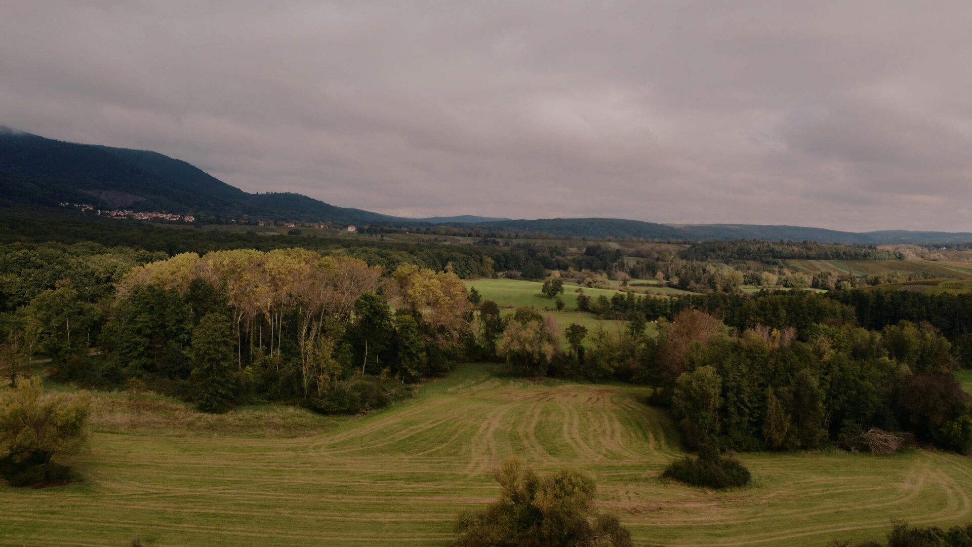
Agricultural & Media
Optimise crop health with precise agricultural surveying and land mapping, especially strong in Oxfordshire. We also create captivating promotional and tourism media for hotels, wedding venues, Oxford colleges, golf courses, and various events.
"Sky Drone Surveys provided an exceptional perspective for our new development. Their aerial footage truly brought our vision to life and impressed every client. Professional, efficient, and highly recommended!"
Michael Armstrong - Property Developer, Buckingham
Contact us
10 High Street
Chalgrove
Oxford
United Kingdom
Opening hours
Mon - Fri: 9am - 5pm
Saturday: 10am - 1pm
Sunday: Closed
Contact
Socials